Rural
13 June, 2024
Soil-scanning world first
Ground-breaking automation for a soil-scanning process vital to successful broadacre cropping planning has been developed in Central Queensland.
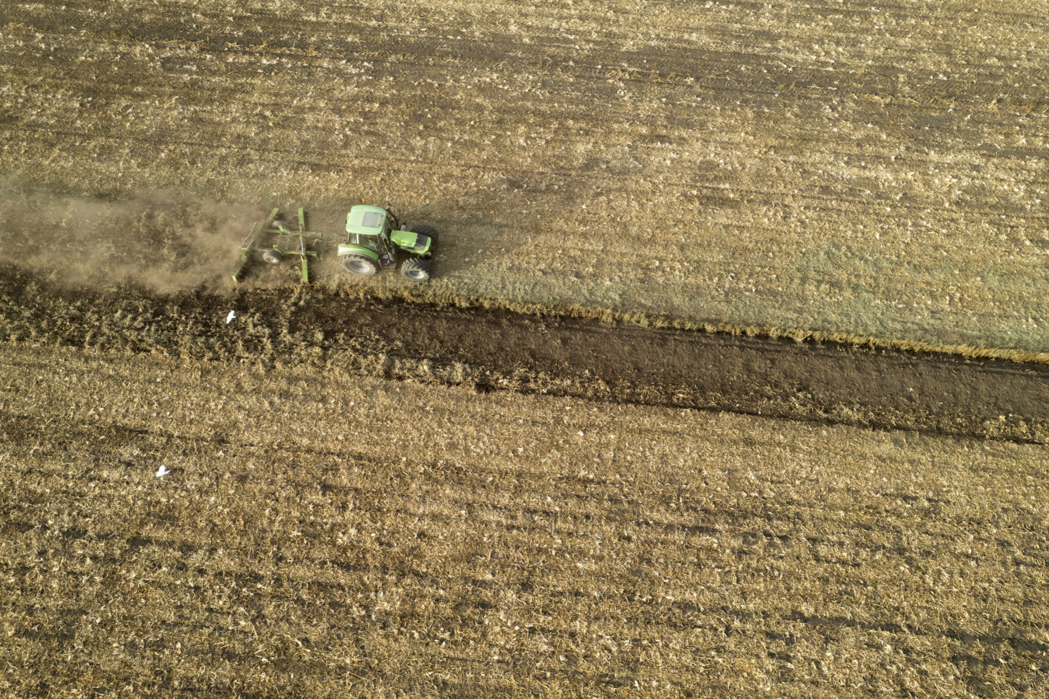
Electro-magnetic survey scanning has long been used to identify variability in soils, including assessment of salinity, water and clay content.
The process has usually involved a scanning sled being dragged behind an all-terrain vehicle.
However, the Department of Agriculture and Fisheries team at Central Queensland Smart Cropping Centre has developed an automated scanning process.
The innovation could save hundreds of hours on-farm, freeing farmers, staff and resources for other tasks.
Queensland Smart Cropping Centre senior innovation broker Alicia Dunbar said, “We can see this becoming a standard add-on to autonomous robots such as SwarmBots that are continually building hyper-accurate soil and moisture maps in real time.
“These units offer a non-invasive, efficient and precise means of assessing and monitoring soil properties and we’re excited to work with industry to make this a widespread tool for producers.
“The technology supports our research and production systems including soil salinity assessment, soil texture and structure analysis, soil moisture content, mapping soil depth and guiding our soil sampling efforts.
“The Smart Cropping Centre in Emerald is producing real-world results, propelling our research capabilities to better manage the uncertainties of the future in broadacre cropping that will help our farmers to be more productive and more profitable.”
Visit https://www.dafqld.gov.au/news-media/campaigns/agtech/about/strategy/roadmap